|
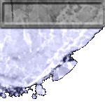
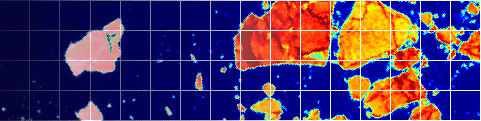
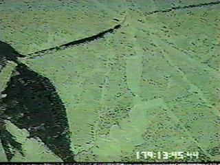
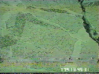
A few frames of video data (left) that was taken by a camera on board the airplane. The corresponding Landsat data (right) was matched to the video frames afterwards using the video time stamp and the airplane's GPS coordinates. The video data was provided by Dr. Mark Tschudi at NCAR's Research Aviation Facility. |
|
Video
|
Landsat
|
 |
 |
 |
 |
 |
 |