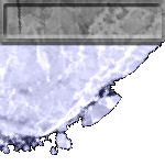
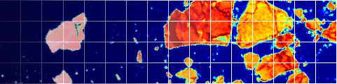
The June 27th PSR data (37 GHz channel, vertical polarization) overlaid on the Landsat scene (band 1) at a resolution of 500 m. The grid lines correspond to the 25 km SSMI grid.note: the large icefloe visible in the 3rd col, 7th row from the bottom left was the one used as the title/menu background for this website.