 |
Miscellaneous Images from Arctic2003 Study
Click on images to
view the larger versions in a new window. If your browser automatically resizes them, click on the image again to view them at full size.
 |
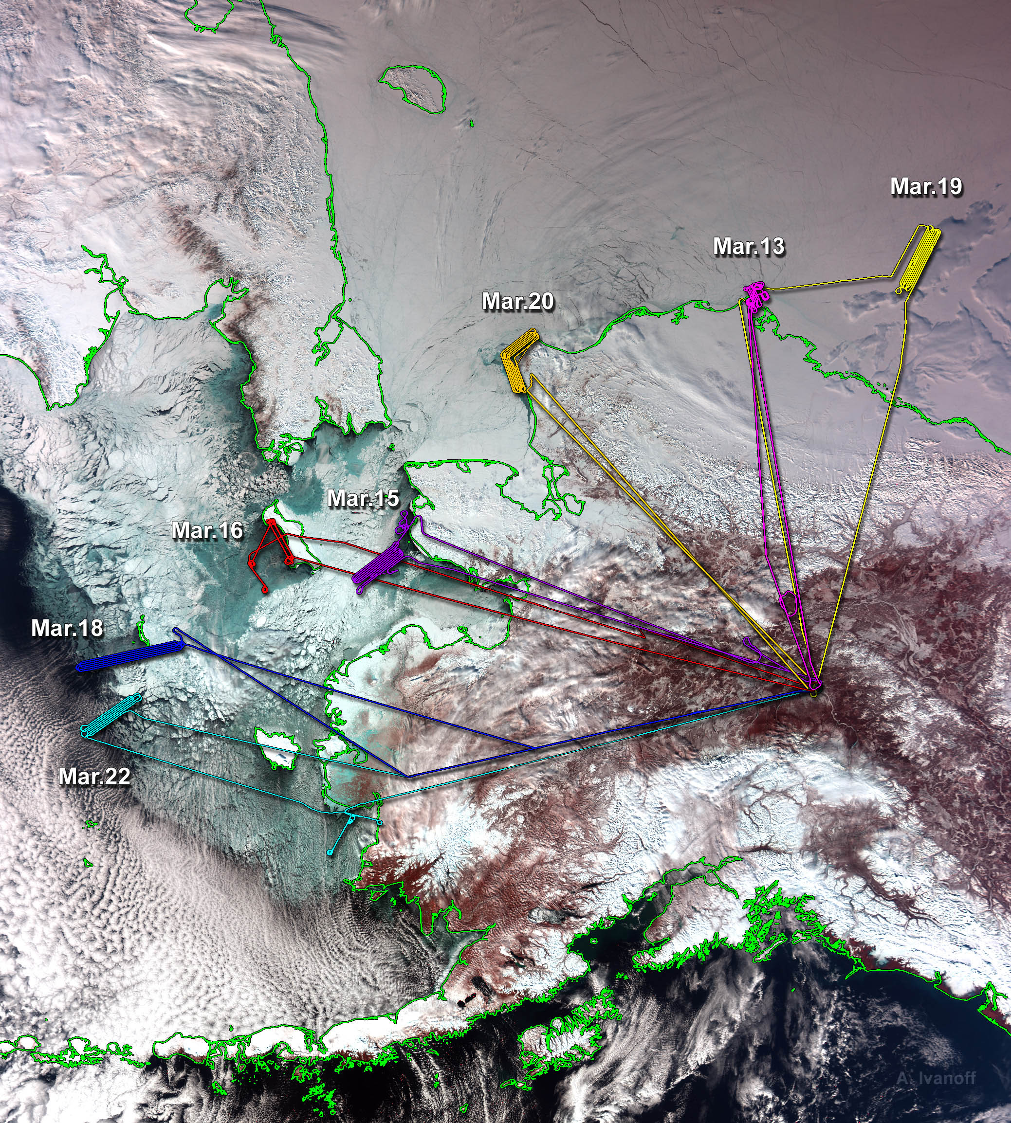
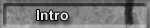
Arctic2003 Flight Paths
The flight paths are shown over MODIS background.
|
 |
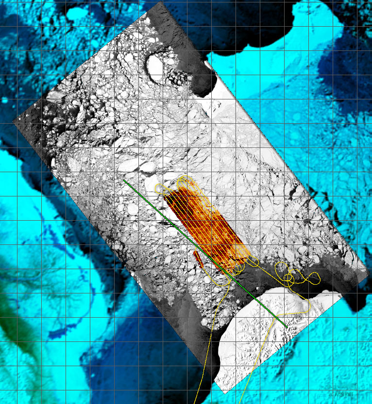
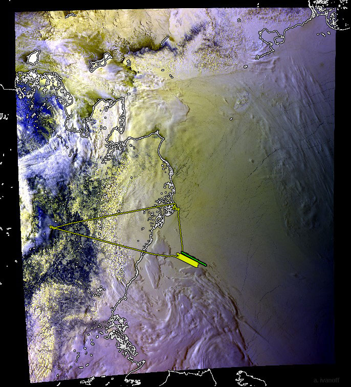
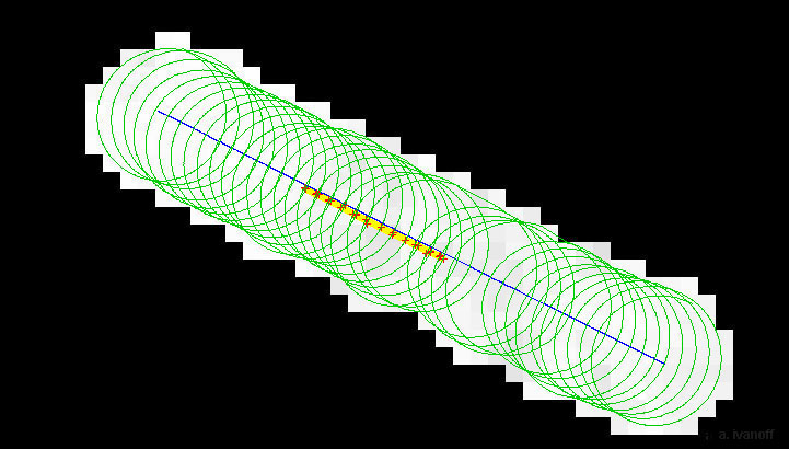
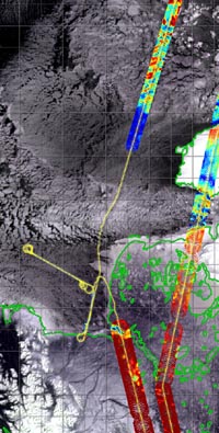
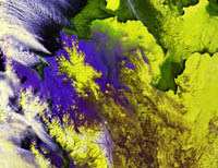
March 15, near Nome, Alaska
Polarimetric Scanning Radiometer (red), Landsat (grey) and AVHRR
(blue) shown with ICESat swath segment (green)
|
 |
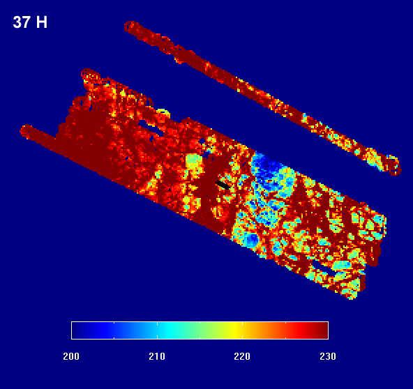
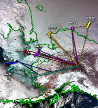
March 13, St. Lawrence Island, AlaskaLandsat Surface Temperature
|
 |
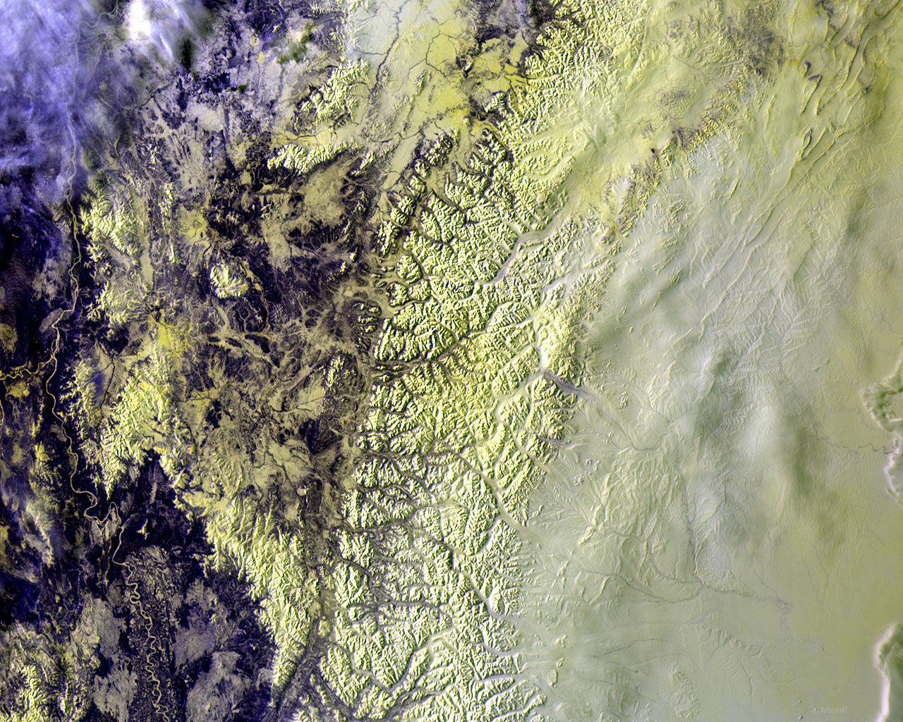
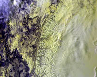
March 20, Point Hope, Alaska
MODIS true color image
|
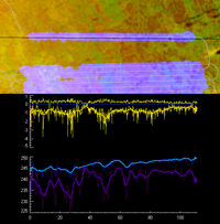 |
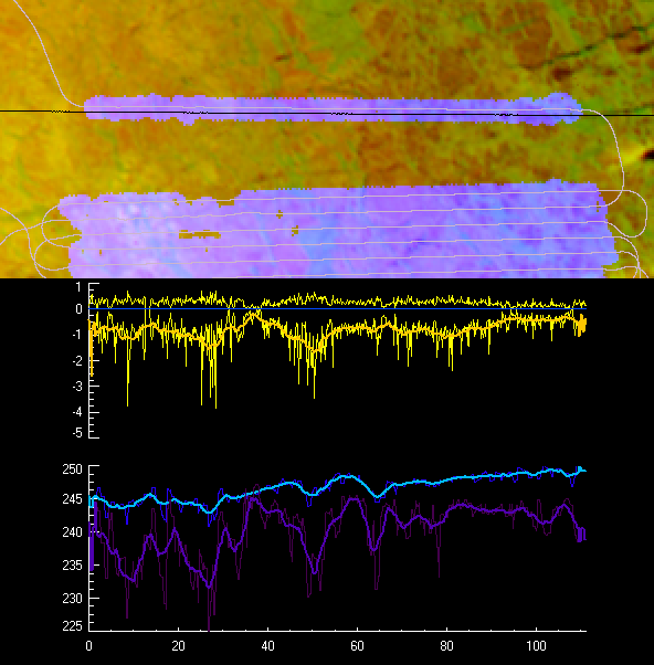
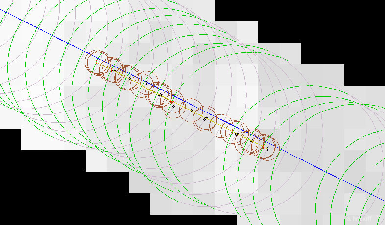
March 19, Beaufort Sea
ICESat freeboard and estimated ice draft, along with PSR 10V and 10H for one of the ICESat flight lines. |
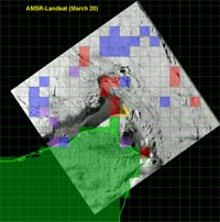 |
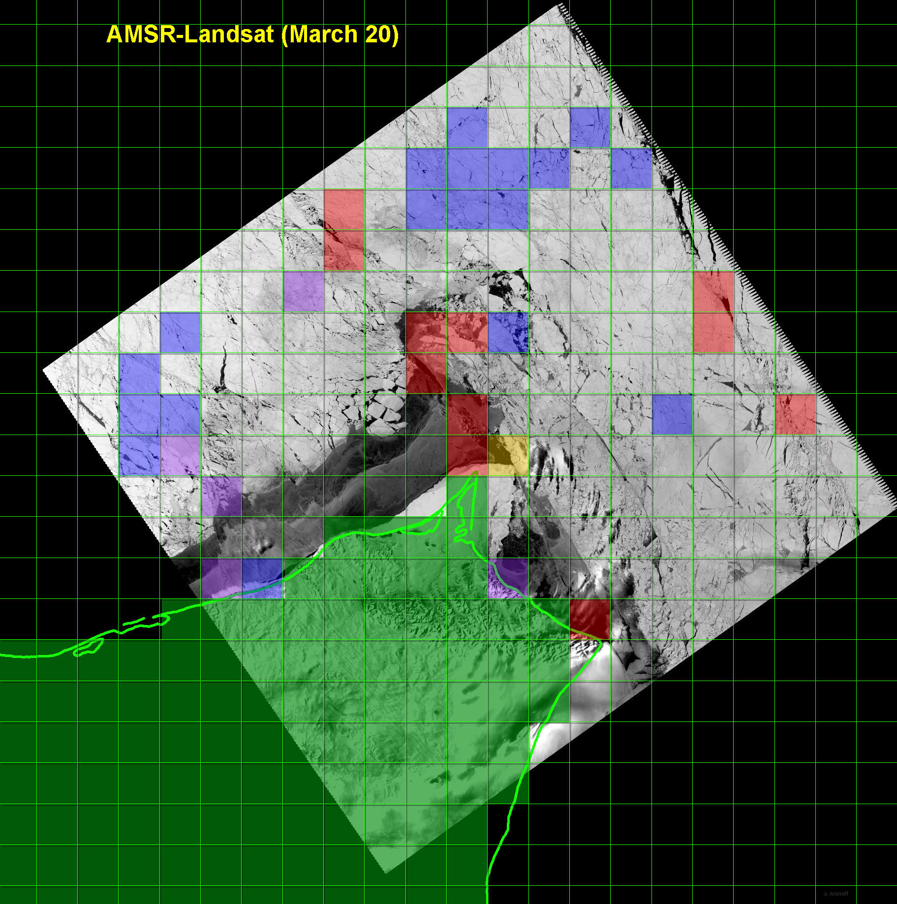
March 20, Point Hope Alaska
Comparison of AMSR-E and Landsat ice concentrations with 12.5km
AMSR grid and AMSR land mask shown in green.
|
 |
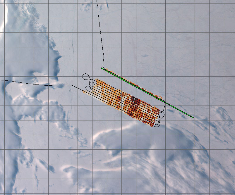
March 22, near Nunivak Island, Alaska
PSR data is shown with MODIS data in the background. The flight
path is shown in yellow and the coastline in green.
|
March 19, Beaufort Sea ice camp flight
 |
March 13, AVHRR
Alaska
|
 |
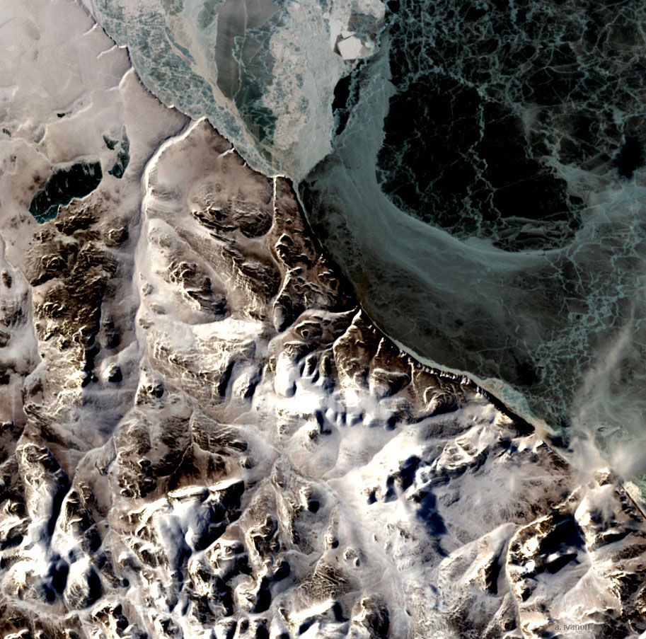
March 20, Landsat
sea ice near Point Hope Alaska
|
 |
March 20, Landsat
near Point Hope, Alaska |
 |
March 19, MODIS
near Barrow, Alaska
|
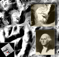 |
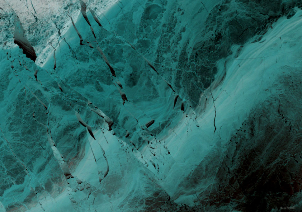
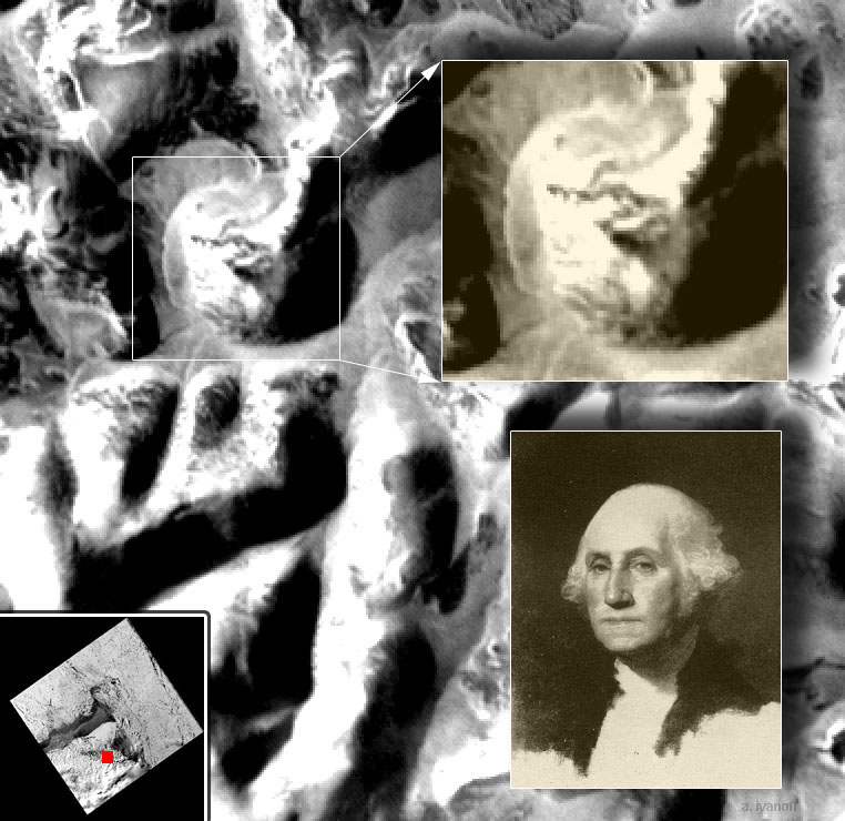
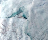
Likeness of George Washington in Landsat
scene near Point Hope, AlaskaLandsat Path/Row: 84 / 12
Lat/Lon: 68'34N / 165'38W
|
(back to the Arctic2003
page)
|